EPOS (European Plate Observing System) is the largest international project in the field of Earth science research infrastructure, including seismic and geodetic networks as well as satellite and gravity.
See: Scientists: the sun and cosmic rays have a strong influence on the climate
The Polish part of the project, whose sole industrial partner is Polska Grupa Górnicza, attends the Central Mining Institute in Katowice, the Institute of Geophysics of the Polish Academy of Sciences in Warsaw, and the Cyfronet Academic Computer Center of the AGH University of Science. and technology in Krakow, Institute of Geosciences of the Polish Academy of Sciences, University of Life Sciences in Wroclaw, Space Research Center of the Polish Academy of Sciences, Institute of Geodesy and Cartography, Institute of Environmental Engineering of the Polish Academy of Sciences and Military University of Technology.
international project
In the international dimension, EPOS is performed by scholars from many countries. Poland has been participating in it since 2010. The Polish infrastructure created under the project is closely related to activities in other countries.
See: Scientists have found a protein responsible for memories. “key to understanding memory”
By 2040, EPOS is expected to integrate the geosciences distributed research infrastructure into the European Research Area. The effect will be to disseminate and improve the results of research conducted in Europe in this field.
The EPOS-PL project is closely associated with the largest geoscience project in Europe. It integrates data, laboratories, software, computer, and high-power computing systems so that we – as scientists – can conduct interdisciplinary research of the processes that occur on Earth. It is a very complex organism, because it is made of thousands of elements scattered throughout Europe and beyond. The success of EPOS depends on the quality of the national research infrastructure, explains the Director of the Institute of Geophysics of the Polish Academy of Sciences, Professor V. Beata aurlica sikora.
Shock Monitoring and Forecasting
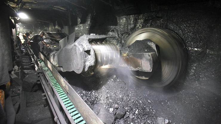
For the largest domestic producer of coal, the part of the project is associated with the so-called induced earthquakes – anthropogenic.
Goes, among other things o Monitoring and forecasting of mining tremors and their dangerous effects – rock eruptions. As part of the project, in cooperation with the Polish mining group, a complex infrastructure is being built for the integrated monitoring of geodynamic processes in the mining and post-mining areas of the upper Silesian coal basin.
The coordinator of this task is the Central Mining Institute in Katowice, where the local data center of the Silesian Upper Geophysical Monitoring System was established.
Measurement polygons
The mining infrastructure used for monitoring is located in specialized testing places, which are intended for continuous monitoring and periodic measurements. This enables comprehensive monitoring of documenting the relationship between the geodynamics of the studied area and underground coal mining.
The findings help scientists and mining practitioners better understand phenomena such as induced earthquakes, changes in surface water level, and land deformation.
The following are used for continuous measurements: the infrastructure of the Upper Silesian regional seismic network, surface seismograph stations, rotary and multiple seismograph stations, local underground SOS seismic monitoring networks, SOS stress monitoring system, GNSS surface displacement measurement stations, such as Plus To gravity measurements using G-Gravimeters Phone, monitoring of crack development in buildings, satellite images of Earth’s surface deformation using inSAR technology and 3D imaging from a drone.
human threats
The processed monitoring data is transmitted to a special platform, illustrating the whole process of monitoring human threats related to underground coal mining in the Upper Silesian Basin.
Huge numbers of reads are sent from the mines to the local Katowice GIG hub, where about 25 TB of monitoring data has already been collected from mining training areas on 210 TB disk arrays. In this way, a virtual laboratory for human operations is created in the upper Silesian coal basin region.
After adaptation and appropriate processing, the data is transmitted from the local GIG center to the Induced Seismic Center of the Institute of Geophysics of the Polish Academy of Sciences, and then to the international IS EPOS platform.

RSR / PAP
Read more


